


ALBANY — Gov. Kathy Hochul declared a state of emergency in New York on Monday as an impending nor’easter threatens to drop heavy snow and cause outages in some parts of the state.
Columbia and Greene counties are included in the declaration.
Hochul ordered additional assets and personnel to sections of the state forecasted to be impacted by the winter system, which could drop up to three feet of accumulation in areas of high elevation and bring gusts reaching 45 mph.
The state of emergency will go into effect at 8 p.m. in a wide swath of New York.
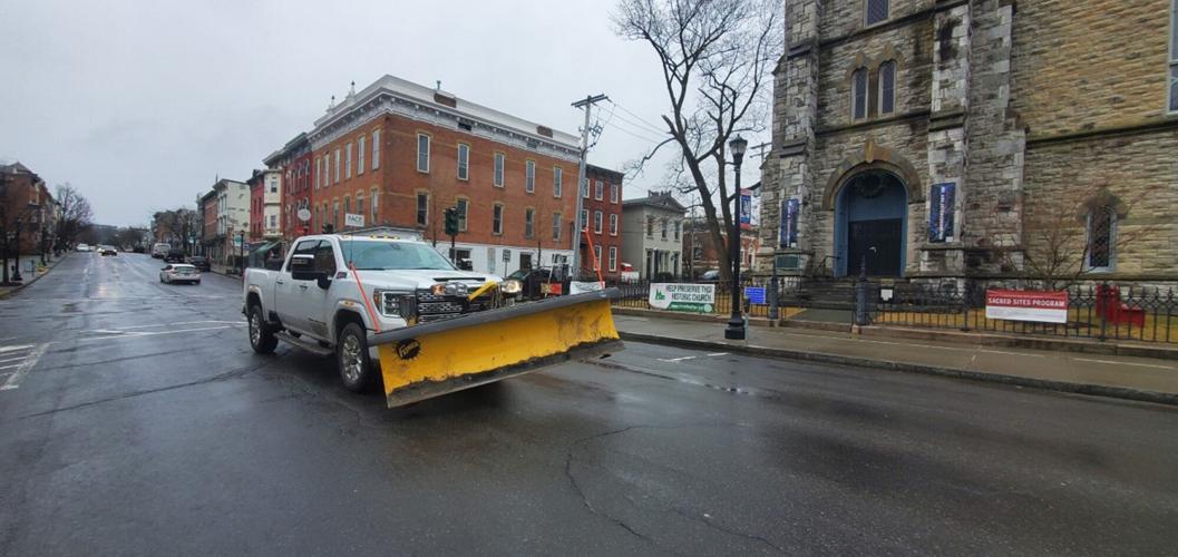
A significant winter storm — the biggest of the season — looks to hit the Columbia and Greene county area starting overnight Monday and lasting through Tuesday before tapering off later in the day.
About 8 to 14 inches of snow will accumulate around Hudson and Catskill.
As temperatures cool down, rain will change to snow late Monday night and end late Tuesday or early Wednesday, local meteorologist Allan Porreca said Monday.
“I’m expecting 2 to 3 feet of snow, maybe more, in the high peaks of the Catskills and maybe some areas of the Berkshires, and about 12 to 18 inches of snow in the Columbia County area to the east around Hillsdale and Austerlitz,” Porreca said.
“Again, this will be an elevation-type spring storm, but the valleys will not be spared,” Porreca said.
Monday was mostly rainy, with mostly light snow mixed in at times, but the steady, heavy snow will fall overnight Monday into Tuesday.
“This will be a heavy, wet and sticky snow,” Porreca said, raising the chances of power outages produced by falling tree branches and power lines.
Snow and rain began Monday morning, falling mostly as rain in the valley and as snow in the higher elevations. The precipitation lasted throughout the day and into the night.
“There will be snow in the mountains at this time while raining in the valley,” Porreca said. “This is why the mountain snow totals will be higher than the ones in the valley.”
Temperatures Monday hovered in the mid- to upper 30s with an east-southeast wind.
Snow overnight into Tuesday will be heavy at times, and there will be some light periods as downsloping may affect the Catskill-Hudson area, but it probably won’t have much impact.
“Actually, downsloping is not going to play much of a role with this storm,” Porreca said.
Highs on Tuesday will again be in the mid-30s, falling off early Wednesday morning to the low 30s.
Porreca expects peak storm hours Tuesday will be between 4 a.m. and 8 p.m. when snow could fall at a rate of an inch or more per hour. The wind will increase more so Tuesday, shifting from the east to more northerly, and registering gusts between 30 and 40 mph.
“Rush hours are going to be horrendous,” Porreca said. “Morning and afternoon — morning because of the heavy snow and afternoon because the wind is going to be another thing. As the temperatures cool, the wet snow will start to dry, and the drying means we could get drifting Tuesday into Wednesday.”
More springlike conditions are expected later in the week as the storm pulls away and a warmer frontal system takes over.
“We warm up nicely Thursday and Friday into at least the 40s,” Porreca said.
The weekend looks to be seasonable with daytime highs in the mid- to upper 40s with rain showers.